On Sept. 17, 2005, Elizabeth and I traveled from El Rosario to the Las Pintas petroglyph site and fossil grotto. Travel directions follow the photos.
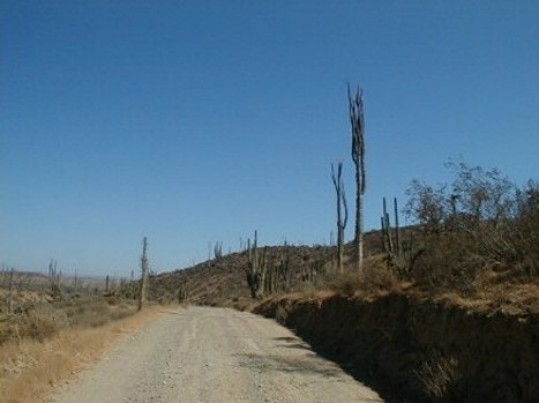
The first 17 dirt miles are over this well graded road that ends at Punta San Carlos.
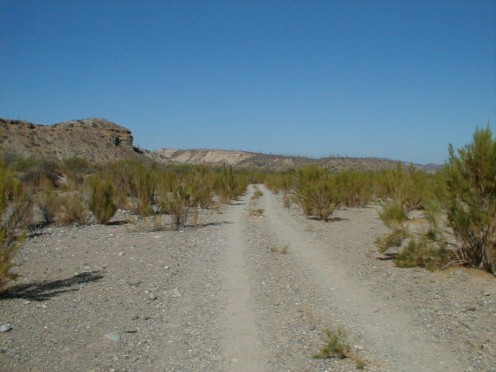
The final 7 miles are over a single track road. Here shown in Arroyo San Fernando.

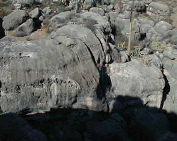
Las Pintas is a jumble of huge boulders, covered with petroglyphs and fossils. Trails go around the boulders and also into the middle of them.

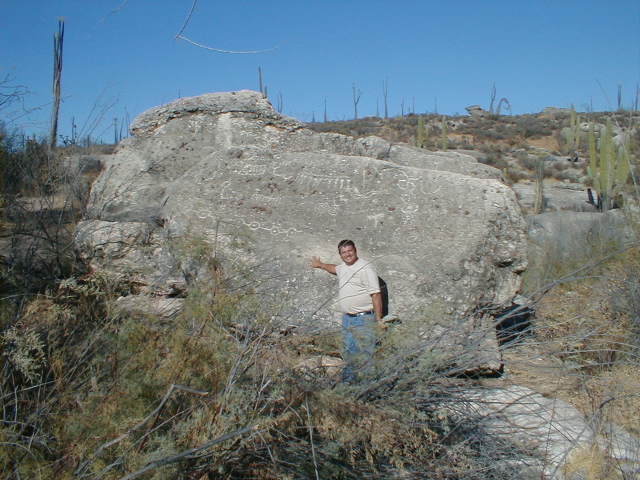
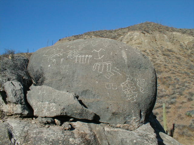
At the top of the Las Pintas field is this boulder covered with petros… like a billboard!
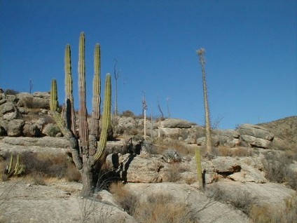
I call this cardón ‘El Mano’ (the hand).

Elizabeth is making me laugh as she points to pre-historic pornography!
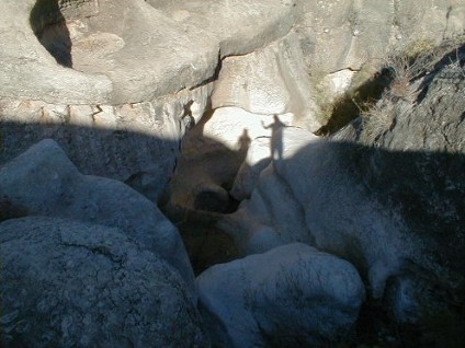
Our shadows are cast far below. The Baja Adventure Book shows a waterfall running here at Las Pintas… it is dry in the summer, however.
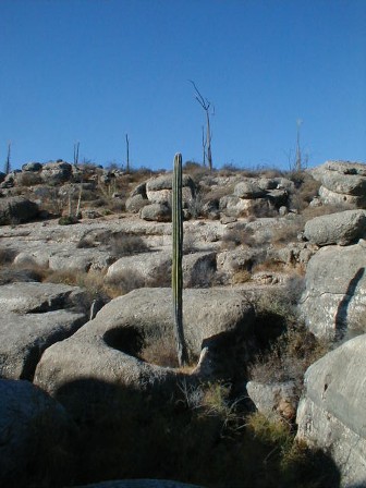
This cardón is growing in a boulder.

Elizabeth found a hiding spot! With so many caves and natural rock shelters it is not surprising the early inhabitants of Baja liked it here.
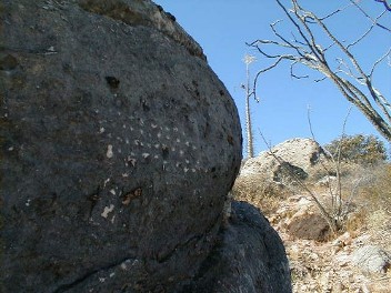
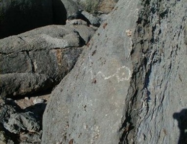
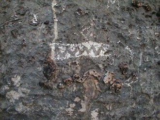
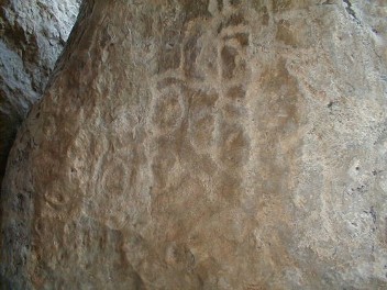
Not easy to see in these photos, but the boulders are covered in petroglyphs… thus the name ‘Las Pintas’ (the marked spot).
Inside the large boulder roofed cave, at the bottom of Las Pintas, were many petroglyphs.
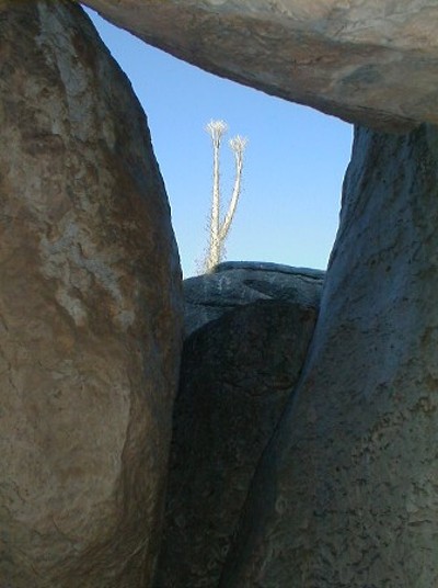
Looking out from one of the cave rooms to a cirio (boojum tree).

Fossils of ancient shell fish are imbedded in the boulders at Las Pintas.
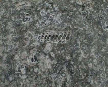

Can you make out the lobster claws?
DIRECTIONS
Highway 1, southward from El Rosario 14.6 miles (between Km. 80-81), turn right at the left curve. GPS: 30°01.60′, -115°32.10′ (Map datum set to WGS84)
Go 17.4 miles on the good graded dirt road to a single track road going left. If passed, just ahead is a ranch house on the right and there is a second left road that joins the first. Set odometer to ‘0.0’. GPS: 29°49.65′, -115°28.47′ .
Pass ranch houses (‘Malvar’) and make an ‘S’ turn right, into Arroyo San Fernando. You soon will be reach a (possibly) closed gate at Mile 3.5. Always re-close any gate after you pass through.
Mile 5.2, (GPS: 29°52.54′, -115°25.27′) turn LEFT off of Arroyo San Fernando road, and follow a small side arroyo. Brush may scratch your vehicle in here.
Mile 5.4, (GPS: 29°52.70′, -115°25.31′) turn RIGHT, out of small arroyo and cross low divide to small valley.
Mile 7.2 LAS PINTAS parking area. GPS: 29°53.91′, -115°24.53′, elev. 755′. You are 24.6 miles from Highway 1 and 39.2 miles from El Rosario’s Baja Cactus Motel and Pemex gas station, per my odometer.
Trail to the right of the boulders is the best way to the top, then cross over to other side and try the more difficult trail to get back down. Straight into the boulders from the parking area are tunnels, passages, and boulder shelters. ENJOY!